


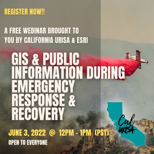
Now open for registration! A lunchtime webinar from Cal URISA and ESRI: GIS and Public Information During Emergency Response and Recovery. More info and registration link below.
When: Jun 3, 2022 12:00 PM Pacific Time (US and Canada)
Register in advance for this meeting:
https://esri.zoom.us/meeting/register/tZ0tfuuhqjwrHNPMAkeTbGFfwO9eeaWJoeKq
After registering, you will receive a confirmation email containing information about joining the meeting.
Description
The California Chapter of the Urban Regional Information Systems Association (CalURISA) is pleased to host the Esri presented webinar: Public Information During Emergency Response and Recovery. This webinar will demonstrate the new Public Information Template for ArcGIS Experience Builder, designed to quickly deploy vital location information to the public during emergencies. The template streamlines the creation of a 3-in-1 web map application for use on devices with small, medium, and large screens. Chad Miller, GIS Analyst with the County of Monterey will host the session, with key presenters being Stephanie Baker and Jason Latoski, Solutions Engineer for Esri’s Local Government Team, along with guest presentations from Kevin Lacefield of Sonoma County and Matt Lamborn of Napa County.
Who should attend: GIS professionals, emergency response managers, and Public Information Officers working with county, city, or state government who may become involved in incident response to wildfire, flood, earthquake, and other public safety emergencies. The first part of this webinar will be geared towards the general audience, and remaining part will be a deeper dive into the workings of the Experience Builder app. There will be opportunities for audience questions and discussion, as time permits.
#GIS#gisapplication#emergencymanagement#emergencyresponse#EOC#ROC#publicsafety