LiDAR
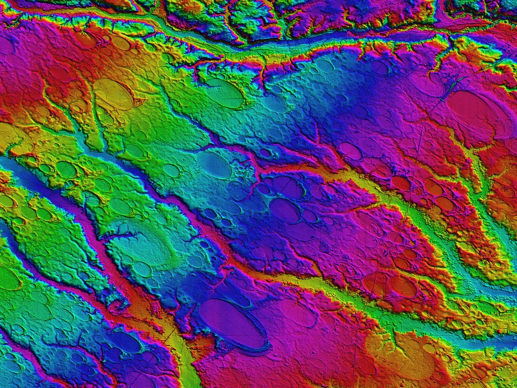
Light Detection and Ranging (LiDAR) is a form of remote sensing that produces vertical measurement, suitable for developing Digital Elevation Models (DEMs) and for enhancing the resolution and accuracy of mapping technology.
AMBAG, through the CCJDC, in 2009 was the recipient of a USGS grant designed to capture LiDAR for much of the three county (Monterey, San Benito, and Santa Cruz) region.
The 2010 project was funded through an American Reinvestment and Recovery Act (ARRA) of 2009, grant awarded by the US Geological Survey (USGS). The Project was administered by AMBAG in consultation with the USGS staff and sub-committee made up of the CCJDC members.
For further details, please contact Gina Schmidt, GIS Coordinator, AMBAG at 831-264-5098 or email gschmidt@ambag.org
More about this project:
