
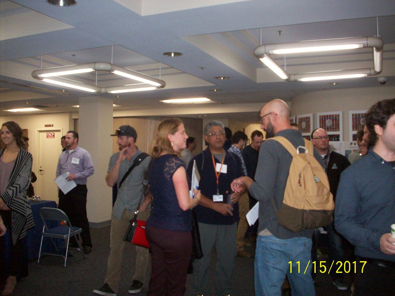
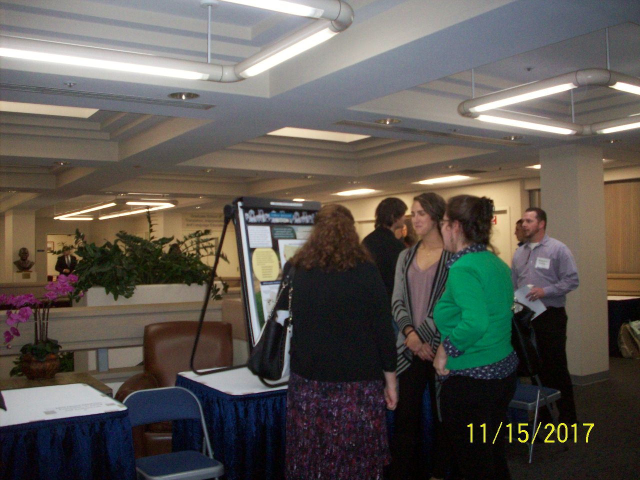
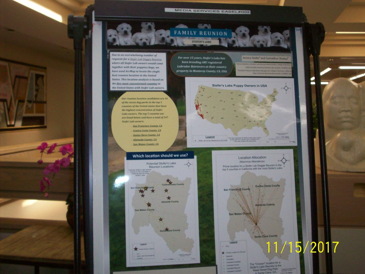
The California Central Coast Joint Data Committee held Geographic Information Systems (GIS) Day on November 15 2017 at the Middlebury Institute of International Studies at Monterey. Participants were treated to presentations by local educators, students, government agency staff and environmental consultants, and to food from Boardwalk Subs. Four federal and local government agencies, four schools, and two local firms were represented among the speakers. Topics spanned a great range, including the use of drones, social vulnerability, remote sensing, electric vehicle use, and puppies!
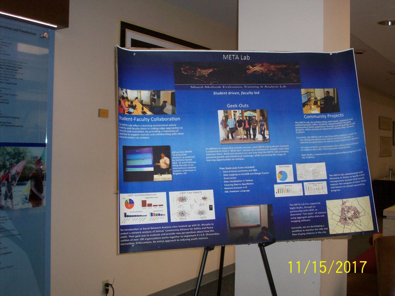
GIS Day brought together students from CSUMB and MIIS, as they volunteered setting up, managing the event, welcoming guests, and cleaning up. Students and professionals mingled, engendering lively discussions about the endless possible applications of GIS technology. The City of Salinas was well represented, as were federal agencies (Bureau of Land Management, US Geological Survey), cities (Santa Cruz, Watsonville), counties (Monterey, San Benito, Santa Cruz), water districts, land trusts, and myriad other organizations.
Fifteen lucky attendees won door prizes generously donated from Cityworks (empowering GIS to manage physical infrastructure and land-focused assets), Planet (designing, building and launching satellites), ESRI (supplying geographic information system software), and two locals: Bunter Spring Winery and Folktale Winery. Each attendee voted on the presentations and posters. People’s choice awards were generously provided by Melville Tavern and the Alvarado Fish and Steak House.
People’s choice awards
Best professional presentation: Aaron Cole, Center for Integrated Spatial Research, UC Santa Cruz
Title: Using the ArcGIS JavaScript API, vector tiles, and d3.js to create an interactive map infographic
Abstract: Interactive web maps are an accessible and dynamic platform for the dissemination and exploration of spatial data. The Center for Integrated Spatial Research (CISR) at UC Santa Cruz partnered with researchers in the Sociology department to create an interactive map infographic showing the results of a community survey of more than 1700 people in Santa Cruz County on their experience with the current housing crisis. The study, “No Place Like Home, The Santa Cruz County Affordable Housing Crisis Report,” has found that more than two-thirds of tenants in Santa Cruz County experience rent burden, along with other significant challenges such as overcrowding and eviction. Inspired by Mike Bostock and the New York Times graphics department, CISR developed a simple and interactive graphic to visualize the results of the study. This talk provides an overview of the development process using both the ArcGIS Javascript API and d3.js, as well as the use and customization of ESRI vector tiles.
Best student presentation: Jessie Doyle, CSUMB Applied Marine and Watershed Science
Title: Applying environmental DNA and watershed attributes to modeling freshwater species distributions
Abstract: Knowing where fish species are distributed is difficult in remote places, such as the Alaskan North Slope. To provide the Bureau of Land Management a way to predict where different fish species are located so they can minimize the effects of oil and gas development, we are developing species distribution models based on GIS and remote sensing data. However, there are limited fish observations to base our models on. And fish respond to watershed conditions, not local environments. To address these challenges, we applied two emerging technologies. The first is environmental DNA, which provides greater probability of detection at lower costs than traditional methods. The second is coding used to produce the Stream Catchment (StreamCat) Dataset, which can summarize watershed conditions of any environmental raster for all individual steam segments in a river basin. Predictors used by our models included Earth observations (i.e., remotely sensed satellite measurements) of water vapor, temperature, and vegetation; water chemistry model predictions; and other spatial data. By applying these models to watershed predictors determined for every stream segment in Alaska using the StreamCat code, we will be able to map probabilities of occurrence at individual stream reaches suitable for management use.
Best student poster: Jacob Tonascia, CSUMB College of Business
Title: Future fire impact on California’s elk habitat
This event was organized by CCJDC's Education & Outreach Committee, hosted by Middlebury Institute of International Studies at Monterey, and sponsored by many generous donors including: AMBAG, ESRI, and Cityworks.