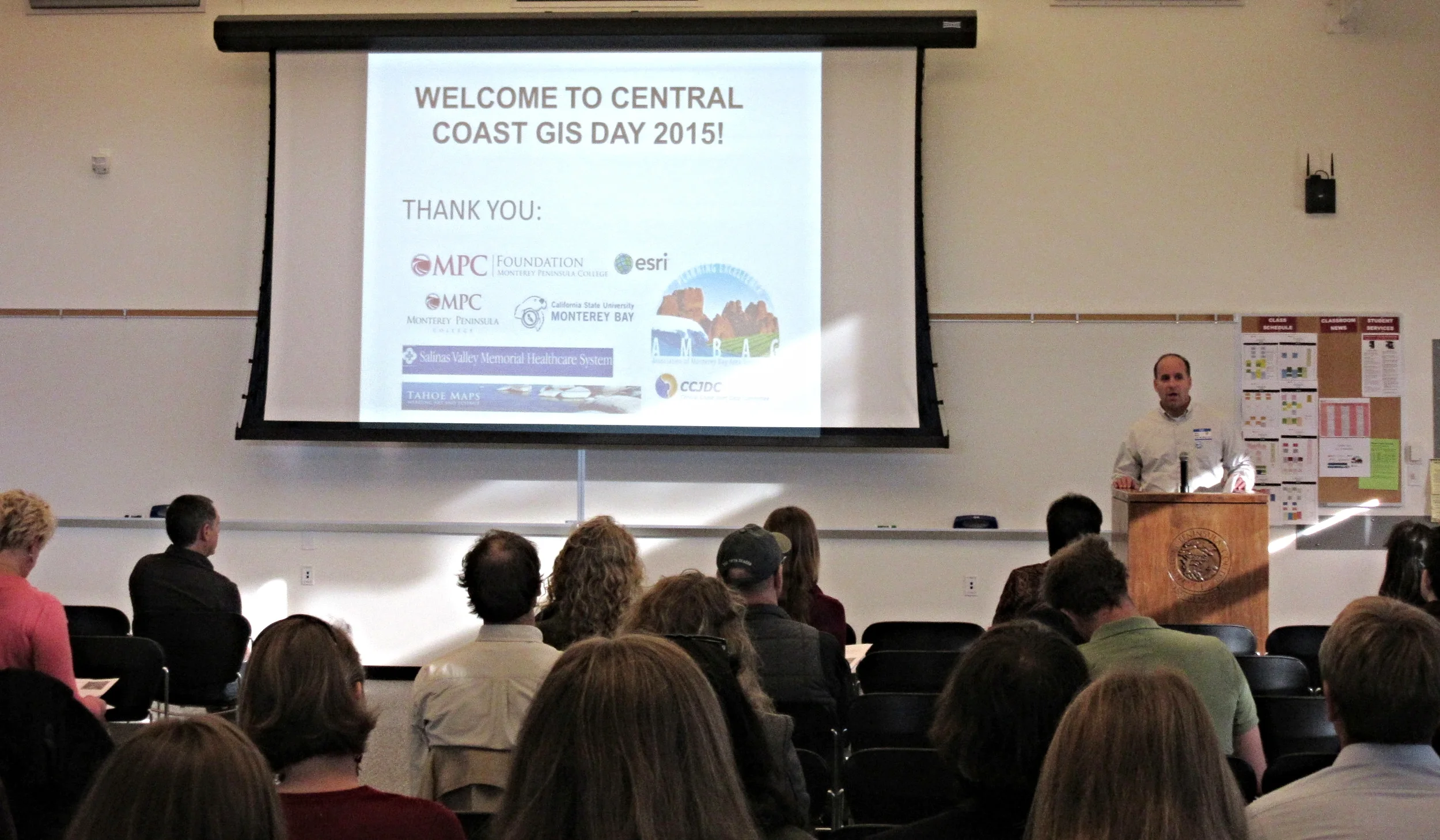
Central Coast GIS Day was held on November 18th, 2015 in Marina, CA. It was a great success! Resources from the event are available below. Thank you to all contributors!
Presentation Slides
Click an image to view the full presentation in PDF.


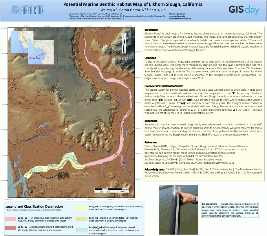
Poster Gallery
Click on an image to view larger.


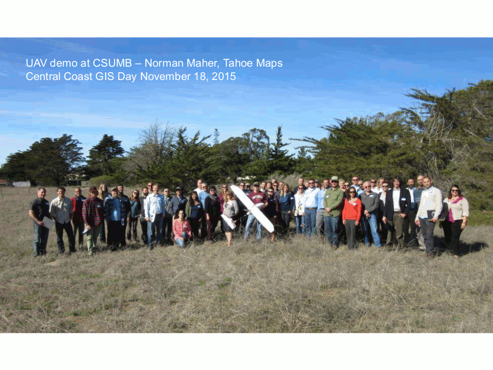
UAV IMAGERY
Imagery from the Unmanned Aerial Vehicle demonstration by Norman Maher
- Download geodatabase zip file (1.3 GB)
- Download map document mxd (721 KB)
Background: An orthorectified aerial image and digital surface model were produced from still images collected from an Unmanned Aerial Vehicle (UAV) as a demonstration for GIS Day. The fixed wing UAV with a wingspan of about 2 meters carried a 16 Mp digital camera set to capture images at 2 second intervals, and was flown at an altitude of 80 meters. Fifteen parallel flight lines, 400 meters in length and spaced 18 meters apart took about 12 minutes to fly, at a cruising speed of about 13 m/s. Agisoft Photoscan Pro software was used to process 289 images to an orthomosaic and surface model. No ground control points were used for this demo survey, so accuracy of the processed data is about 3-5 meters. With the use of ground control points, accuracy can typically be increased to around 5-10 cm.